Orchestrating Earth Observation from Space.
Designing and engineering the Missions UI: Translating complex orbital mechanics and Synthetic Aperture Radar (SAR) physics into transparent, consumer-grade web interfaces for sovereign defense and environmental intelligence.
Bridging Radar Physics and Human Decision Making
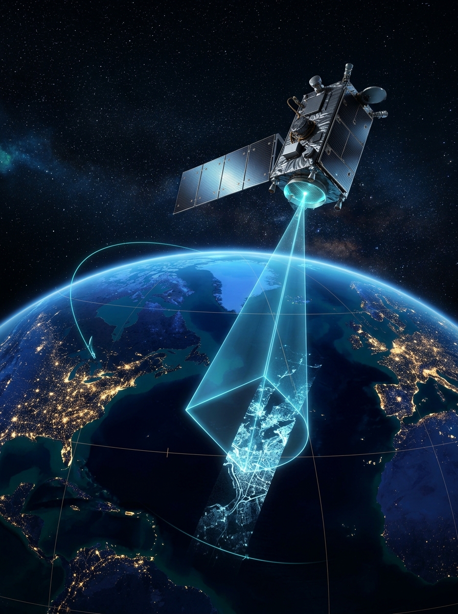
ICEYE operates the world's largest commercial constellation of Synthetic Aperture Radar (SAR) satellites. Unlike optical satellites that depend on clear skies and daylight, SAR active microwaves illuminate Earth night and day through cloud cover, rain, smoke, and storm fronts.
Historically, tasking a sovereign satellite required aerospace specialists writing manual orbital ephemeris scripts, consulting paper look-angle charts, and back-and-forth email loops with ground control. In natural disasters (like floods or tsunamis) or urgent maritime domain defense, hours wasted on archaic interfaces cost lives.
- ✕Manual coordinate conversion between projections without visual feedback
- ✕High rate of rejected orders due to satellite look-angle conflicts
- ✕"Black box" mission progress with zero real-time telemetry visibility
- ✕45+ minute cycle time per single tasking request
- Interactive 60 FPS vector canvas with real-time swath cone simulation
- Automated 72-hour pass feasibility calculator with geometry scoring
- Transparent 5-stage deterministic finite state machine with live event logs
- Sub-90 second end-to-end tasking with instant RFC 7946 GeoJSON export
Simplifying Orbital Dynamics Without Losing Power
Aerospace tools often fall into two traps: either they oversimplify and hide critical physical constraints, or they overwhelm the operator with raw mathematical matrices. We created a progressive disclosure framework built around three core radar parameters.
1. SAR Imaging Modes
Translating antenna beam steering into clear trade-offs: Spotlight (0.5m) for sub-meter vessel forensics, Stripmap (3.0m) for balanced territorial monitoring, and ScanSAR (15m) for wide ocean sweeps.
2. Incidence Angle Visualizer
Radar contrast depends directly on incidence angles ($18^\circ - 45^\circ$). We built a real-time visual indicator highlighting the $25^\circ - 35^\circ$ sweet spot, preventing operator mistakes before submission.
3. Feasibility Scoring
Every satellite pass is scored by antenna slew limits, solar battery charging cycles, and polar ground station downlink capacity, giving operators an instant green/yellow/red feasibility confidence score.
Predictable State Machines & Geospatial Vectors
In satellite missions, state ambiguity can cause expensive spacecraft thruster waste or telemetry packet loss. The frontend is engineered as a deterministic state machine connected to high-performance canvas vectors.
WGS84 GeoJSON & PostGIS Interop
The application translates interactive canvas polygons directly into strict RFC 7946 compliant GeoJSON FeatureCollections, complete with closed coordinate rings, bounding box properties, and matching PostGIS ST_Intersection queries. This allows frontend engineers to seamlessly unblock backend Node.js and PostgreSQL pipelines.
WCAG 2.1 AA Accessibility in Dark & Light Modes
Military and operational dispatchers frequently work in darkened command centers. The system provides seamless dual-theme compliance: tactical high-contrast dark mode for low-light environments, and a warm cream/ruby light mode for sunlit office settings, maintaining 4.5:1 contrast ratios across all telemetry gauges.
Experience the Live Prototype
Test the interactive 5-screen Missions OS: switch between constellation fleet command, plan tasks on the vector map, run pass feasibility calculations, and watch live simulated telemetry stream.